 02 8319 2266 from Australia
 416-628-3473 from Canada
 04 889 4515 from New Zealand
 646-757-1102 from the USA


 Kerry Way
You are here: Alpine Exploratory
> Walking guide
> The Kerry Way: Walking guide
The Kerry Way: Walking guide
Bare facts
The Kerry Way is a hiking route that makes a loop of the Iveragh peninsula in the County of Kerry in Ireland. Our trip runs for 9 days and 10 nights, in a circuit from Killarney which is the main town for tourists in Kerry.
The highest point reached on the whole Kerry Way is 375m (1,230ft) at the col between Caher and Beendarrig, on the day to Glencar.
Visitors to Kerry can fly to Cork, which is the second busiest airport in Ireland. Dublin is the busiest. Cork has direct flights from London, Edinburgh and Manchester. At Cork, after a bus to Cork's Kent railway station, people can take the train to Killarney and the start of the Kerry Way. From Dublin, trains leave Dublin's Heuston station for Killarney via a change at Mallow. Kerry Airport, which is undoubtedly the closest airport to Killarney, has flights from London, and is (after a short walk to Farranfore station) a quick train to Killarney.
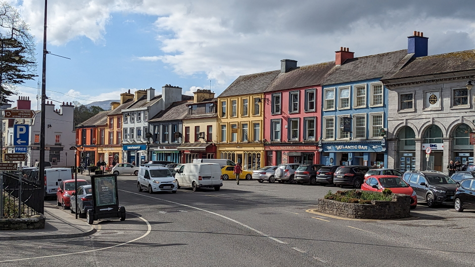
 The colourful buildings of Kenmare

Languages and names
The Kerry Way runs entirely within Ireland. The language is English. Irish as a language is spoken by a minority.
The Kerry Way, the walking circuit that is the subject of this page, is distinct from the Ring of Kerry which is the road driving route taking a loop of the Iveragh peninsula (Kerry), the largest peninsula in South West Ireland, and popular with tourists as a day trip. The Ring of Kerry has many craft and tourist stop-offs! The walking route and the driving route are not always far from each other, but are quite distinct.
Grading
Alpine Exploratory gives the Kerry Way its Red grade. Of our 9 stages, some are Red and others are the easier Blue grade.
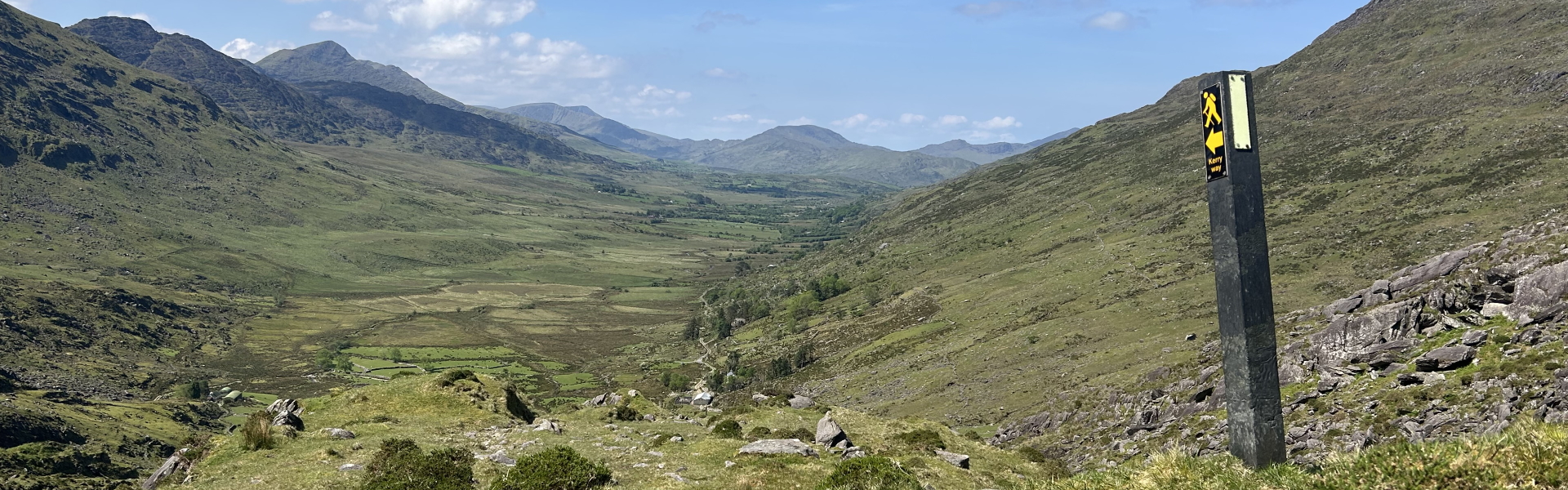
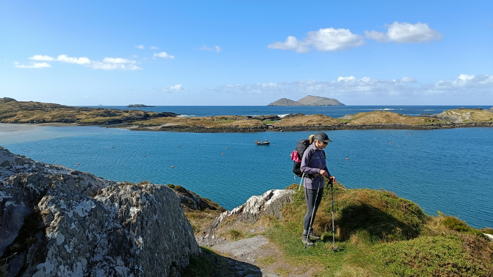
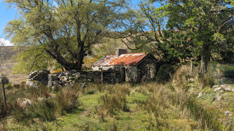
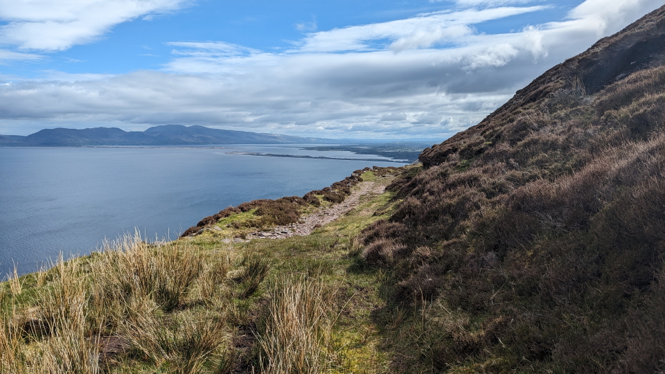
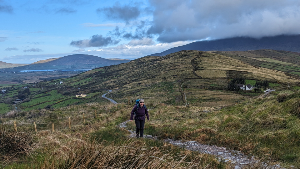
Generally speaking, the walking on the Kerry Way involves long days, without enormous amounts of ascent and descent when compared to our routes in the Alps. This will be evident from the photos here. Think long, steady, uphill sections. There is certainly plenty of up and down on the route.
When to go?
Our Kerry Way season runs from the start of May to the middle of September. Essentially, this is the high Spring and Summer in Ireland.
We set these season dates in the UK and Ireland in order to avoid the early frosts which can affect March and April days (though March and April are often glorious) and to avoid, at the other end of the season, the wetter and colder weather which can come in towards the end of September. We also think of the elements of the tourist infrastructure (shops and accommodation) which tend to follow the seasons.

Where to stay
The accommodation on our Kerry Way route is good, overall, though only really Killarney can be thought of as having that choice of smart hotels that many travellers are used to.
Parts of the Kerry Way visit places in which few accommodation options exist at all, and this creates problems for us as organisers. We are lucky that the taxis locally are well set up, as befits a rural and popular area. In general, we find a pleasant mix of country pubs, B&Bs and small hotels, plus larger places in Killarney, that gives a feel for the area.
City breaks after trekking
Our Kerry Way holidays come with notes on the following cities, in your info pack:
 Dublin in Ireland
 City breaks after hiking in the UK and Ireland

The Kerry Way: Our route
Stage 1: Killarney to Black Valley
(24km with 530m ascent)
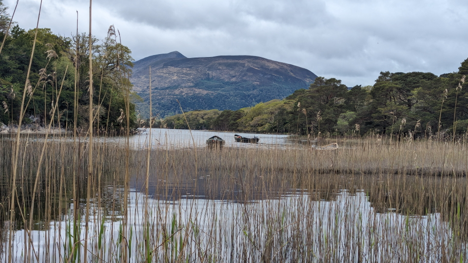
Start the Kerry Way with a straightforward, flat, morning beside Lough Leane. We pass Muckross House overlooking the lough. At the Torc waterfall we begin to climb and eventually reach the secluded Black Valley, well away from Killarney.
Stage 2: Black Valley to Glencar
(21.5km with 660m ascent)
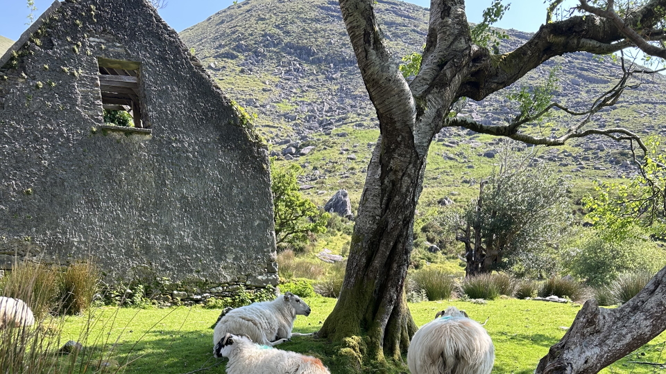
Two distinct climbs come on today's stage, on the way to reaching quiet Glencar. First we cross the 290m (951ft) pass on the way to the Bridia Valley, and second we cross the 375m (1,230ft) pass between Caher and Beendarrig that marks the highest point of the Kerry Way.
Stage 3: Glencar to Glenbeigh
(15.1km with 390m ascent)
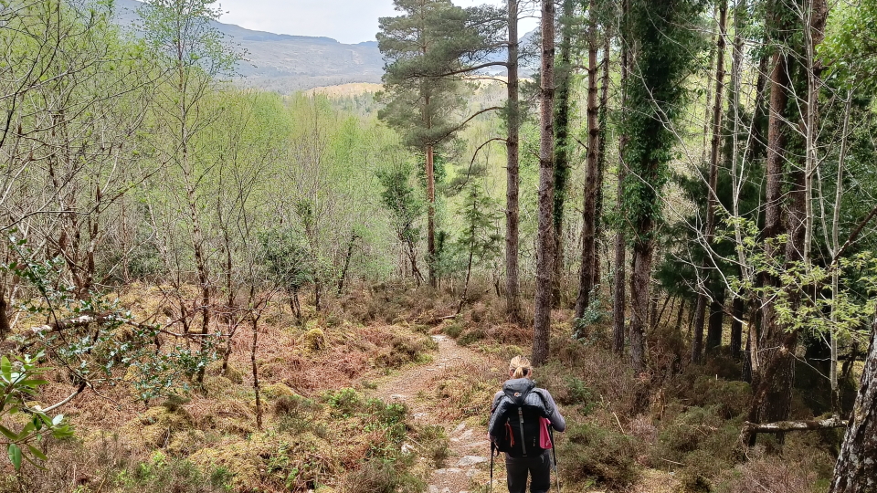
The ascent of Windy Gap is the main event today, the Gap marking the break with the inland hills and valleys before, and the coastal walking beyond. The Gap is a narrow pass with a good track over it, and we descend quickly on the far side of it to reach Glenbeigh, one of the villages (pub!) on the main road route around the area.
Stage 4: Glenbeigh to Cahersiveen
(29.4km with 480m ascent)
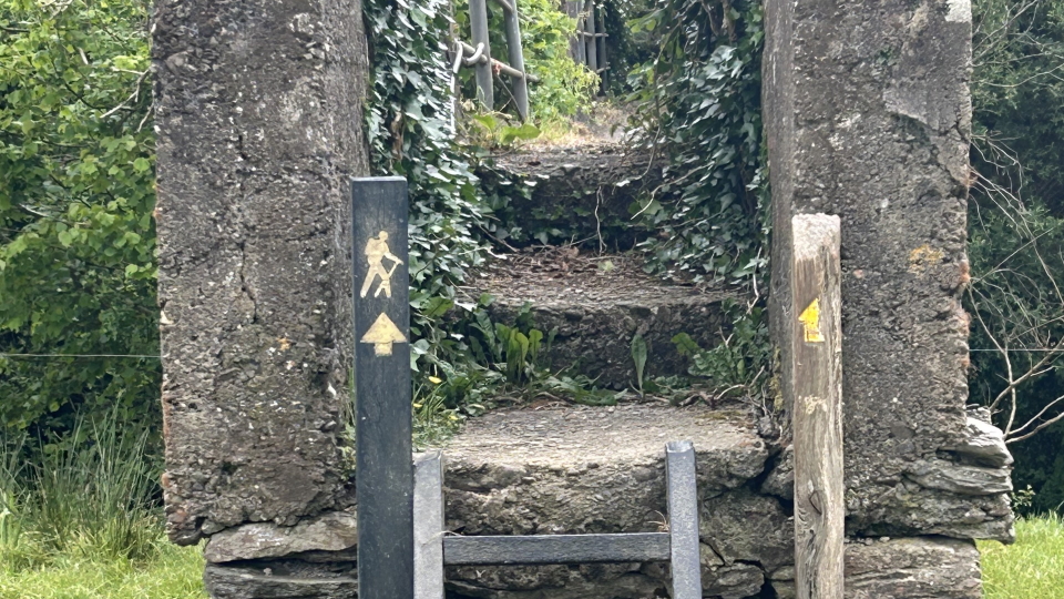
This is a day of coastal walking with Drung Hill in the way, as we head South West towards the reasonably sized and jolly village of Cahersiveen. Drung Hill is big and bold, smooth, giving wide views fore and aft. Cahersiveen is actually a little off the Kerry Way, and we organise a taxi to take people there.
Stage 5: Cahersiveen to Waterville
(21.5km with 890m ascent)
We return to the Kerry Way by taxi, and start a cross-country day on which our high point is Knockavahaun (371m or 1,217ft), the second-highest summit/col on the Kerry Way. In fact we reach the summit of Knockavahaun here, with 10 metres of walking off the Kerry Way.
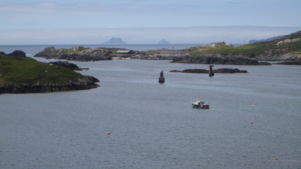
Stage 6: Waterville to Caherdaniel
(14.8km with 320m ascent)
Today we follow the coast, as much as does any stage of the Kerry Way. Half-way along there is the option to take a shorter, inland, route, reducing the day's length by 3.1km.
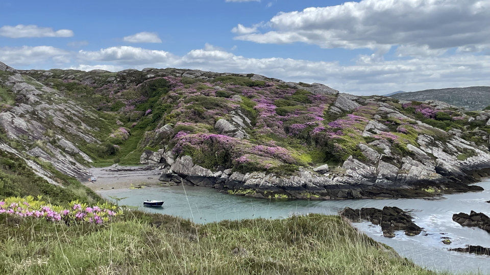
Stage 7: Caherdaniel to Sneem
(17.2km with 440m ascent)
It's a rolling day, this one, that follows the Southern side of the Iveragh peninsula heading East. We see Knocknasullig outside Caherdaniel as a prominent peak. About half-way through the day, we can take a 2km detour to Staigue Fort, which is a popular sight as an old stone fort (cahir in Irish) dating from between 300 and 400 BC.
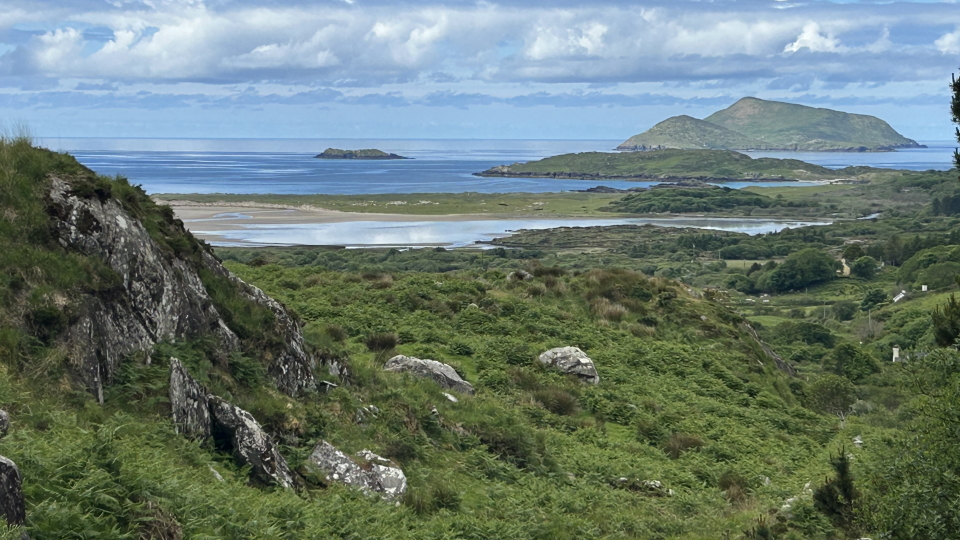
Stage 8: Sneem to Kenmare
(33.6km with 650m ascent)
This long day can be reduced by 4km with a detour along the road, at the point at which the Kerry Way takes a route inland at the old Templenoe church. There are good views South across the water (here, the Kenmare Bay).
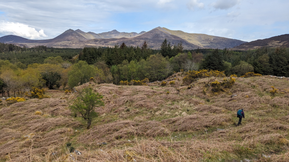
Stage 9: Kenmare to Killarney
(25.3km with 760m ascent)
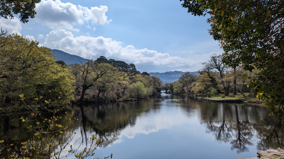
This last stage is, like the first stage, one of two halves - the first being hilly and the second being flat, alongside Muckross Lake and Lough Leane. This is an agreeable way to finish your Kerry Way and to enter Killarney.
Hike the Kerry Way with Alpine Exploratory
Alpine Exploratory offers one self-guided option on the Kerry Way. If you prefer a guided trip, please contact us to talk about a private guided trip.
Our self-guided holidays give you what you need to complete the route under your own steam. We book your accommodation in a mix of B&Bs and hotels, and we give you our detailed Routecards, the local maps, and lots of notes. Importantly we will advise on the ideal schedule and accommodation to suit your approach to the Kerry Way.
Please ask us any time for more details. Please feel free to describe your walking experience and preferences, and we'll suggest what style of trek you might enjoy most.
  Kerry Way enquiry form
|



 Alpine Exploratory


