 02 8319 2266 from Australia
 416-628-3473 from Canada
 04 889 4515 from New Zealand
 646-757-1102 from the USA


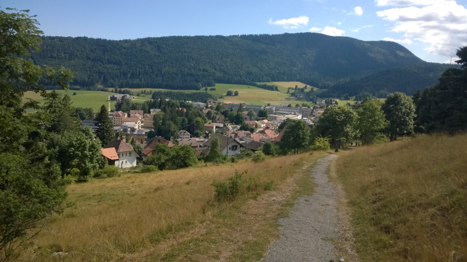
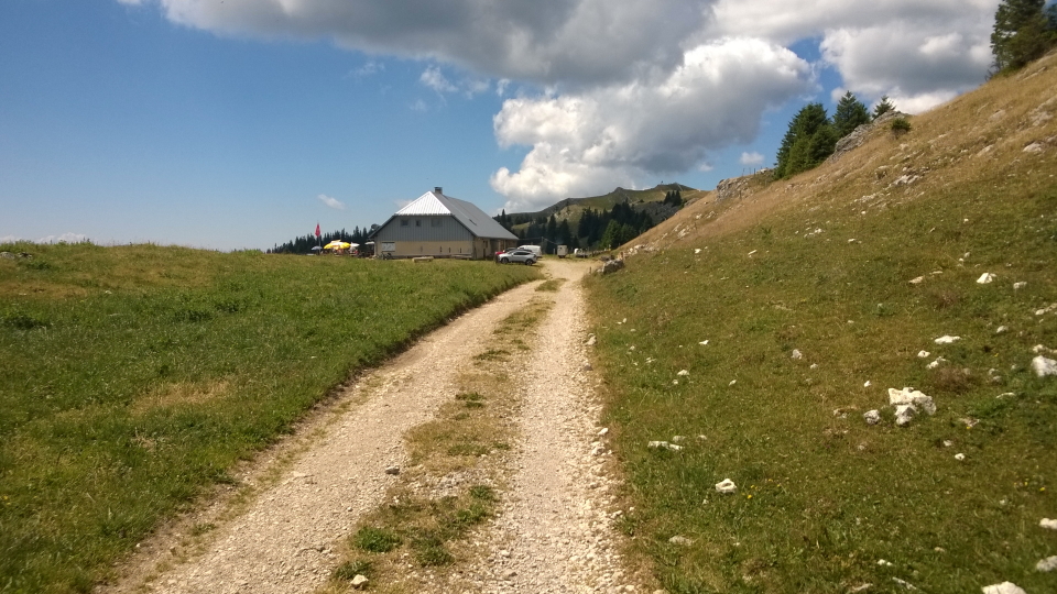
 Jura Crest Trail

You are here: Alpine Exploratory
> Walking guide
> The Jura Crest Trail: Walking guide
The Jura Crest Trail: Walking guide
Bare facts
The Jura Crest Trail is a hiking trail through the Jura mountains of Switzerland, for 310km (193 miles) from Dieldsorf (near Zurich) in the East to Nyon (near Geneva) in the West.
The Swiss Jura Crest Trail, which is entirely within Switzerland, is distinct from the Grande Traversée du Jura (GTJ) which is also in the Jura but which is entirely within France.
Alpine Exploratory offers half of the Jura Crest Trail trail, the Western half, starting at Vue des Alpes (a quick bus ride from La Chaux-de-Fonds) to Nyon (near Geneva)
The highest point reached on the whole Jura Crest Trail is Mont Tendre (1,679m or 5,509ft) which comes on Stage 6 of our hike of the Western half of the JCT, the day from Le Pont to Col du Marchairuz.
Trekkers typically take 16 days to complete the hike, or 8 days (8 stages of walking) for the Western half.
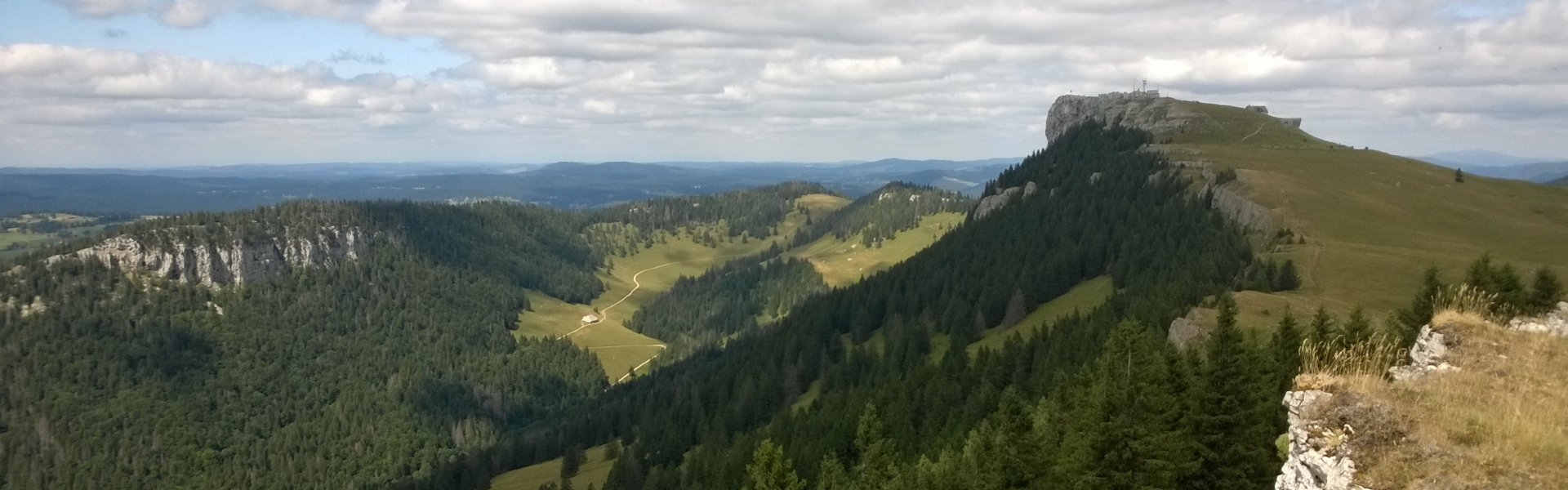
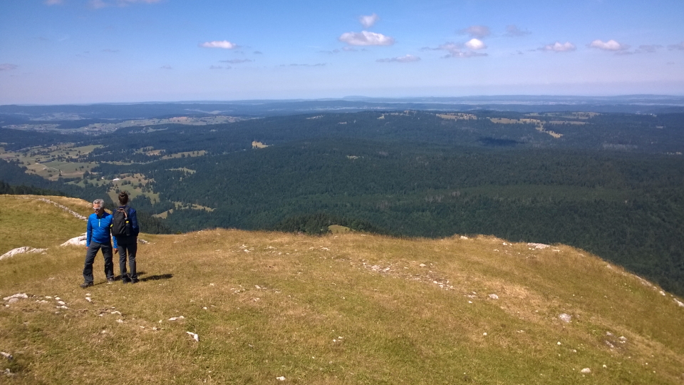
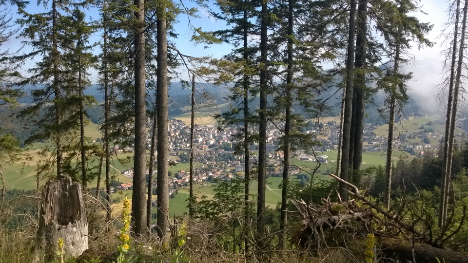
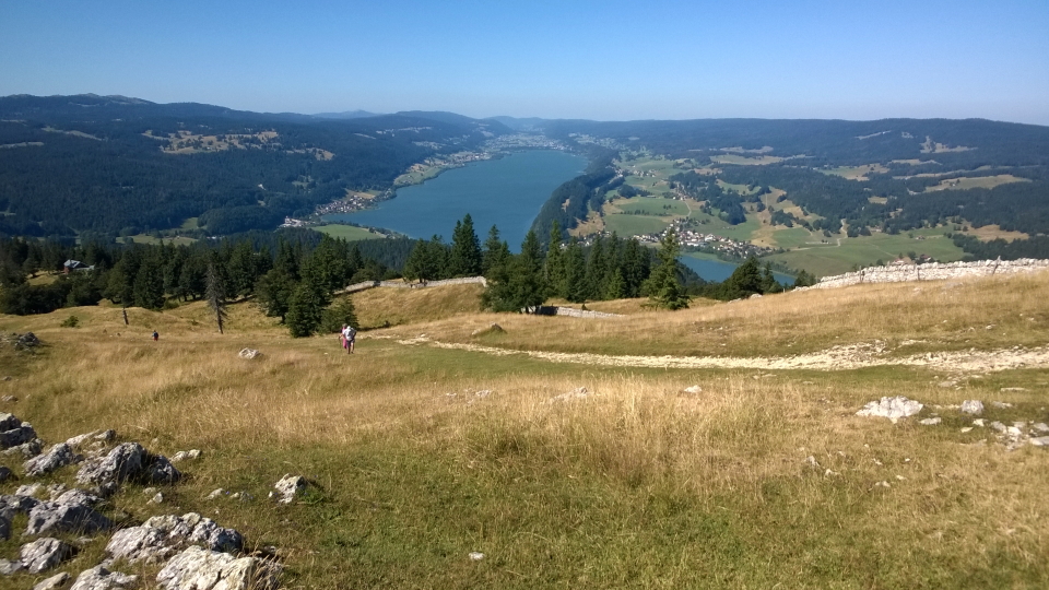
 The view over the Lac de Neuchâtel

Best bits
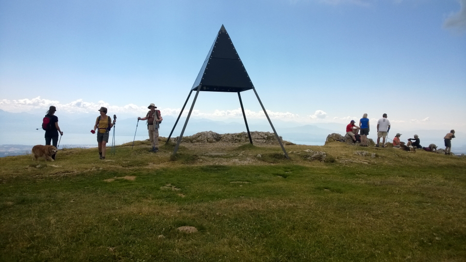
We love the modest hills of the Jura, which appear regularly as we walk West. The highest of these hills is of course Mont Tendre (1,679m), the highest point in the Jura. There are several more hills of note, in the 1,400s and higher, across the route. Summits are marked by conspicuous black metal triangles, forming a sort of shelter, and are used as surveying structures.
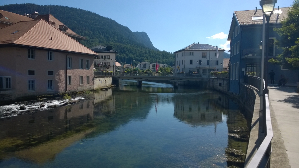
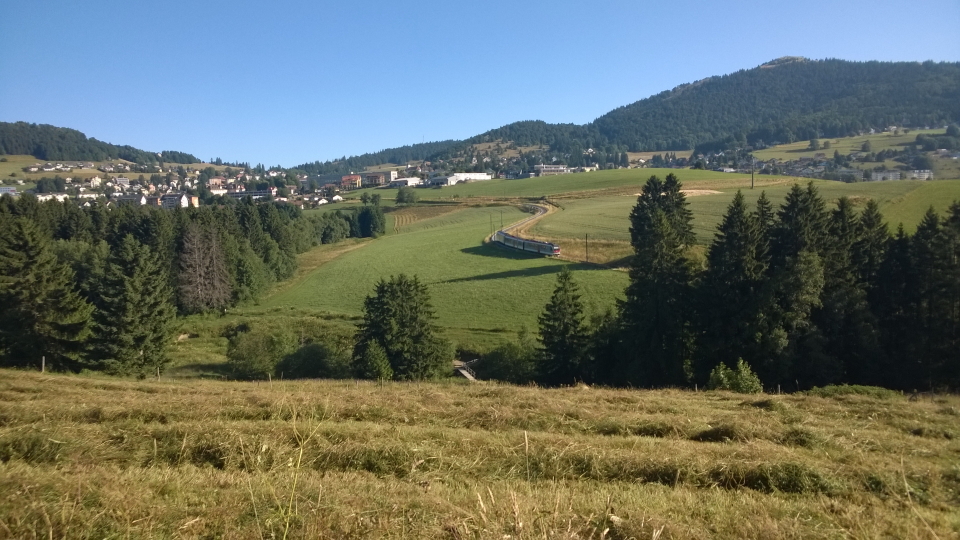
The proximity of the Jura Crest Trail to several interesting towns - towns of a decent size - is a benefit to the route. These are easily reached, often by a quick train... and in Switzerland the trains are such a pleasure. These towns include Solothurn, Biel, Neuchâtel, and Yverdon-les-Bains.
Languages and names
The Jura Crest Trail is, in Swiss French, the Chemin des Crêtes du Jura, in German the Jura Höhenweg, and in English the Jura Crest Trail, the Jura High Route or the Jura Ridgeway. The route is the Swiss National Route 5.
In Eastern areas of the Jura Crest Trail, German is used locally, whereas in the Western sections it's French.
Grading
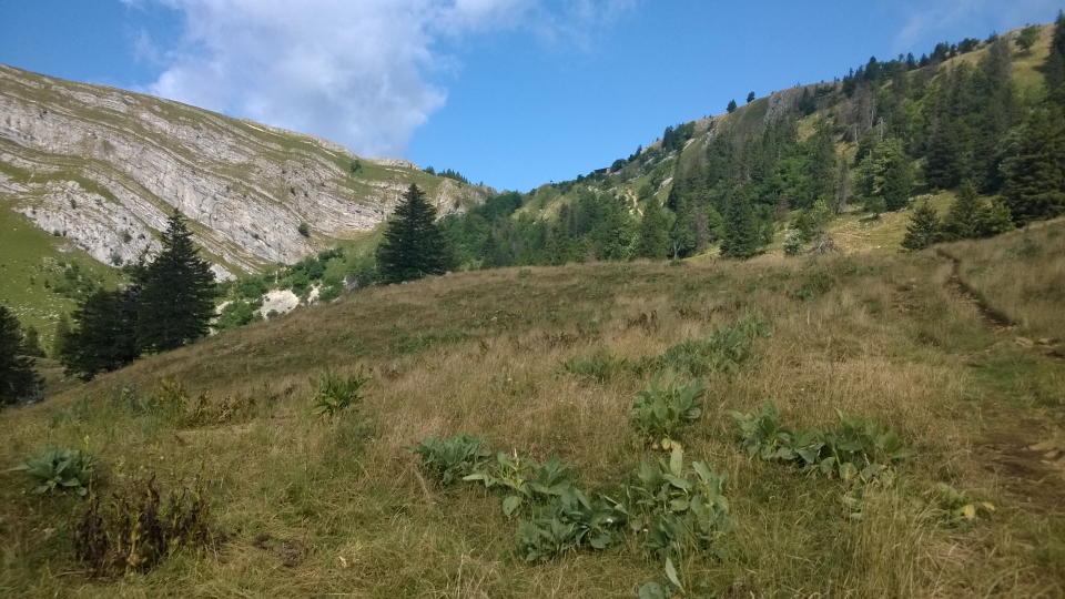
The Jura Crest Trail is not an especially hard trail, being a Blue grade within the Alpine Exploratory system. Days can be long in terms of miles, though compared to the main Alpine range on many of our other trips, the walking in the Jura is more steady, and less steep and jagged. Much of the walking is along solid, sometimes knobbly, paths.

The joy of long-distance trails
We like that particular feeling when on a long-distance trail, which can come after 100 metres or after 5 days... that of being at one with the trail, in that the current trail is your trail of choice and your one mission. This one mission excludes your normal pattern of work, family, surroundings and everything else. It is enormously relaxing and reinvigourating to have simply one thing to do: to walk ahead on your trail.
Then each evening you find yourself in a new village, a new town, and have the place to get to know... a new place, having reached it by a day's walking. Such satisfaction!
The lie of the land
The Jura mountains stretch from outside Zurich in the centre-East of Switzerland, to outside Geneva in the West of Switzerland. The walking is hilly and challenging throughout, while the hills generally become higher as you proceed West, such that the higher half of the Jura Crest Trail is the Western half.
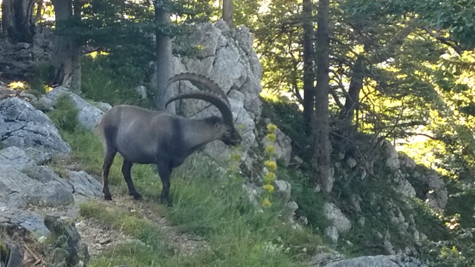
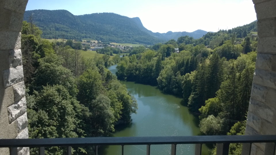
Views can be pastoral and rustic, without the immediate steep slopes of the Alps (which are in view off to the South) but with some delightfully pretty scenes... and, of course, always with the same Swiss way of life that we know so well from the Alps.
Can I manage it?
The Jura Crest Trail can be managed as simply a walk - not involving a climb or a via ferrata - for anyone fit and capable of steady mountain walking day after day. We always recommend people to start the trip with recent walking under their belt, such that the length of the stages will not be a surpise. We can advise on training before your trip - please just ask us.
We can book several variations of the Jura Crest Trail, using the spacing of the hotels and towns to give different stage lengths. These could be longer or shorter days, as you choose.
What's it like underfoot?
Underfoot in the Jura, we find the mud or hard-pack of trails found across the Alps and elsewhere, with some elements of rocks as are common in the hills. Generally the trails are well-worn. Some areas see more grass, such as across pastures or fields.
Is it technically difficult?
Our Jura Crest Trail follows the normal route as it is established, as the Swiss National Route 5.
While generally a less challenging route, there are some sections where the path crosses rockier and steeper ground. Some stages cross open, unforgiving terrain without easy escape routes: full days of mountain walking. Of course too, the weather makes a big difference, and while less usual, those cold or wet days can be harder going.
Are the routes obvious?
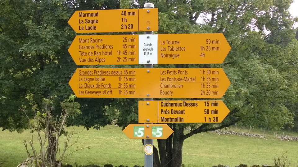
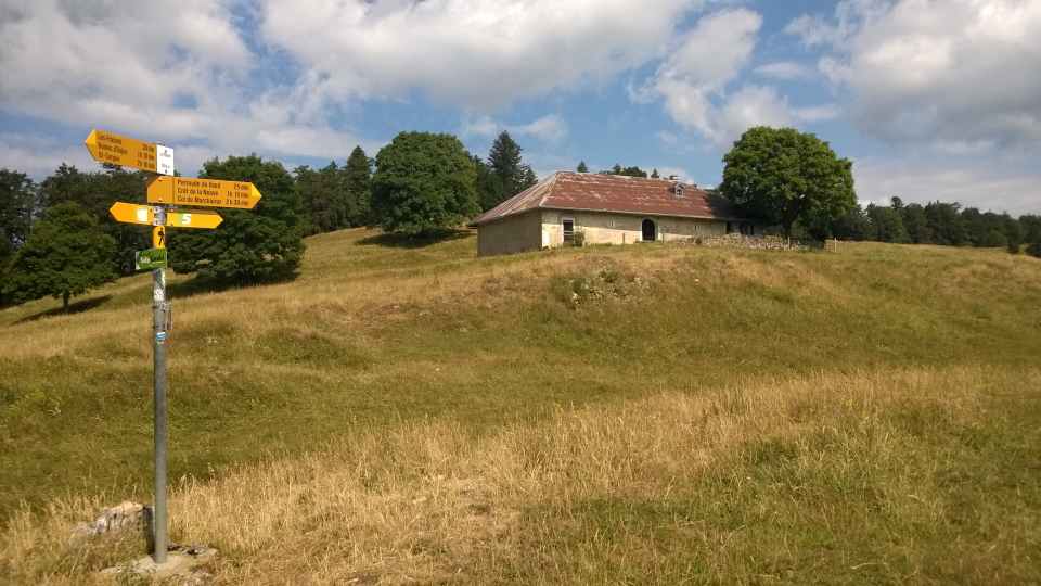
The Swiss signposts are very helpful, and throughout the Jura Crest Trail can be faily well relied on. On the ground, the trail is marked by the usual red-white-red boxes painted on boulders or walls.
Unseasonal weather
The Jura Crest Trail is a lower-lying trail than the higher routes in the Alps, and we would expect a snow-free Summer. It is always worth saying, however, that snow can occur in the Summer in such regions. If snow were to fall, it would be light and it would be quickly over - typically an inch or two and typically lasting a day or two.
When to go?
Our Jura Crest Trail season runs from June to mid-September. This longer season than most of our Alpine ones is afforded us by the weather: the earlier weeks in Summer are less prone to snow than the main Alps, because altitudes in the Jura are lower.
Where to stay
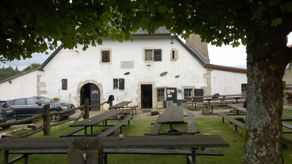
We find a lovely mix of hotels along the Jura Crest Trail. Generally, our Jura Crest Trail stays in simple, comfortable, decent Swiss hotels in the villages along the route, which tend to be smaller villages (in the hills) than those bigger towns lower down. We experience a quieter way of life! It is possible for us to book smarter hotels in the bigger towns if clients prefer this style, and we then advise on the travel off-route to the towns - on the great Swiss trains and buses.
City breaks after trekking
Our Jura Crest Trail holidays come with notes on the following cities, in your info pack:
 Zurich in Switzerland
Geneva in Switzerland
Basel in Switzerland
 City breaks after hiking in the Alps
The Jura Crest Trail: Our route
Here we explain our route each day.
Stage 1: Vue des Alpes to Noiraigue
(22.1km and 620m ascent)
From Vue des Alpes, which is a crossing point of a low col, above La Chaux-de-Fonds, we strike off West across undulating ground until we reach our first summit, Mont Racine (1,439m). We finish the stage with a steady descent into the village of Noiraigue.
Stage 2: Noiraigue to La Combaz
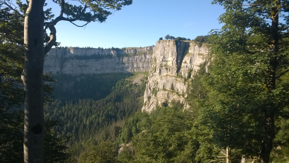
(33km and 1,459m ascent)
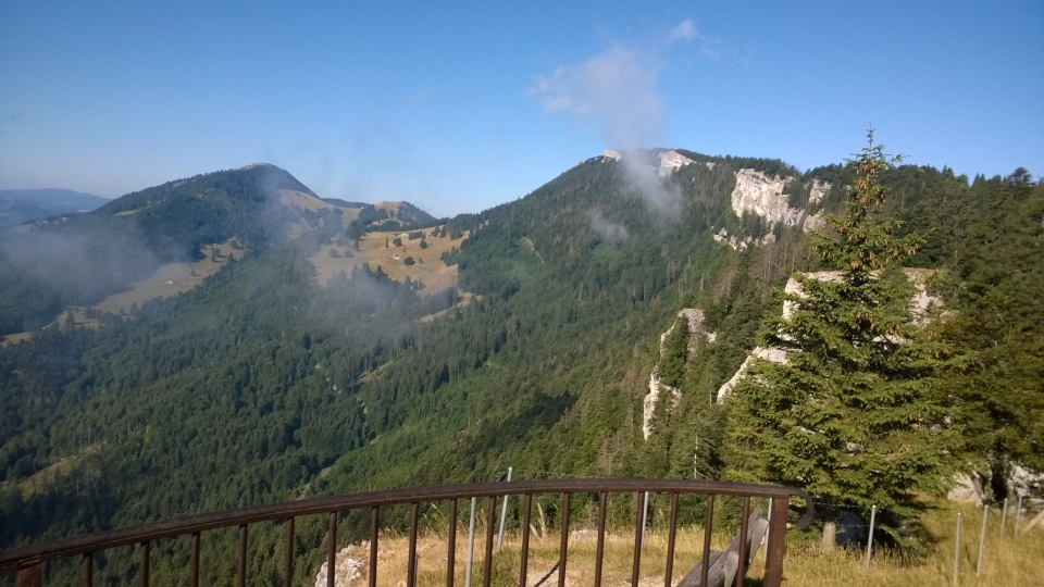
Le Soliat (1,464m) is our peak of the day, with wide views. These include views to Mont Blanc, appearing as a snowy peak. Today we come to the Creux du Van, known as the Swiss Grand Canyon.
Stage 3: La Combaz to Sainte-Croix
(14.5km and 565m ascent)
A rolling day without too much ascent on one go, today we start with 5km of up and down to La Cruchaude and then climb more seriously to Le Chasseron (1,608m) which is our peak of the day, marked by a metal triangular pillar as it common for summits in the Jura.
Stage 4: Sainte-Croix to Vallorbe
(23.6km and 873m ascent)
On the way to Vallorbe, a sizeable village, we pass nearby Le Suchet (1,588m) with its views.
Stage 5: Vallorbe to Le Pont
(13.4km and 802m ascent)
We leave Vallorbe and its handy shops and trains, to climb steadily. The high point of today's walk is the Dent de Vaulion (1,483m). There is a large, black, surveyor's triangle at the summit.
Stage 6: Le Pont to Col du Marchairuz
(24.1km and 1,001m ascent)
We reach Mont Tendre (1,679m) on today's stage. Looking back, we see the summits previously visited: Dent de Vaulion with its tall mast, and beyond that, a little to the Right, Le Chasseron. To the South, we are now a substantial way along Lake Geneva. Lac de Neuchâtel is a long way back. Looking ahead, the summit of La Dôle can be seen, the final summit of the Jura Crest Trail.

Stage 7: Col du Marchairuz to Saint-Cergue
(16.8km and 380m ascent)
Crêt de la Neuve (1,494m) is a minor peak quite soon after leaving Col du Marchairuz, where generally this stage is a relaxed and a downhill one, to reach the delightful villge of Saint-Cergue with its shops. We are within striking distance of Nyon!
Stage 8: Saint-Cergue to Nyon
(26km and 723m ascent)
La Dôle (1,677m) is the peak on this last day, which we reach after 7km. From La Dôle it is almost all downhill into Nyon, heading South to Lac Leman. At Borex, with 6k to go, regular buses let us skip the last walk if we prefer.
Hike the Jura Crest Trail with Alpine Exploratory
Alpine Exploratory offers one self-guided option on the Jura Crest Trail (the Western half). We're also pleased to book shorter or longer sub-sections of the route according to your available dates. Please contact us to discuss options.
Our self-guided holidays give you what you need to complete the route under your own steam. We book your accommodation in a mix of huts and hotels and we give you our detailed Routecards, the local maps, and lots of notes. Importantly we will advise on the ideal schedule and accommodation to suit your approach to the Jura Crest Trail.
Please ask us any time for more details. Please feel free to describe your walking experience and preferences, and we'll suggest which trek you might enjoy most.
  Jura Crest Trail enquiry form
|


 Alpine Exploratory


